
Position, Navigation & Timing
An operational record behind the product.
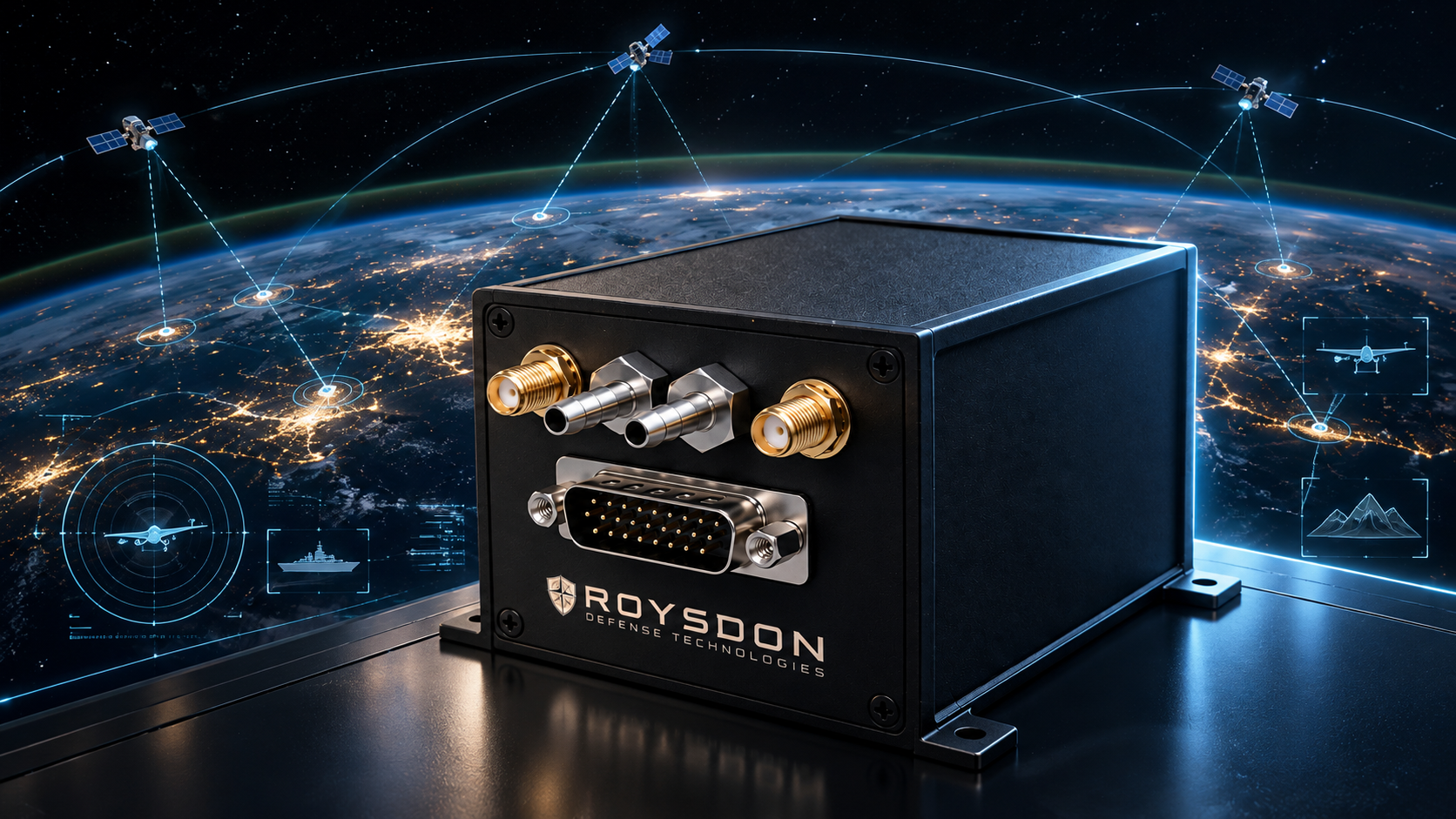
Our founder developed navigation and autopilot systems that are used across the U.S. Air Force, Army, Navy, with platform experience including the BQM-167, BQM-177, MQM-178, and others. This gives RDT a practical foundation for the next integration: experience with the aircraft, the onboard systems, and the consequences of their interaction.
Product & Portfolio Exemplars
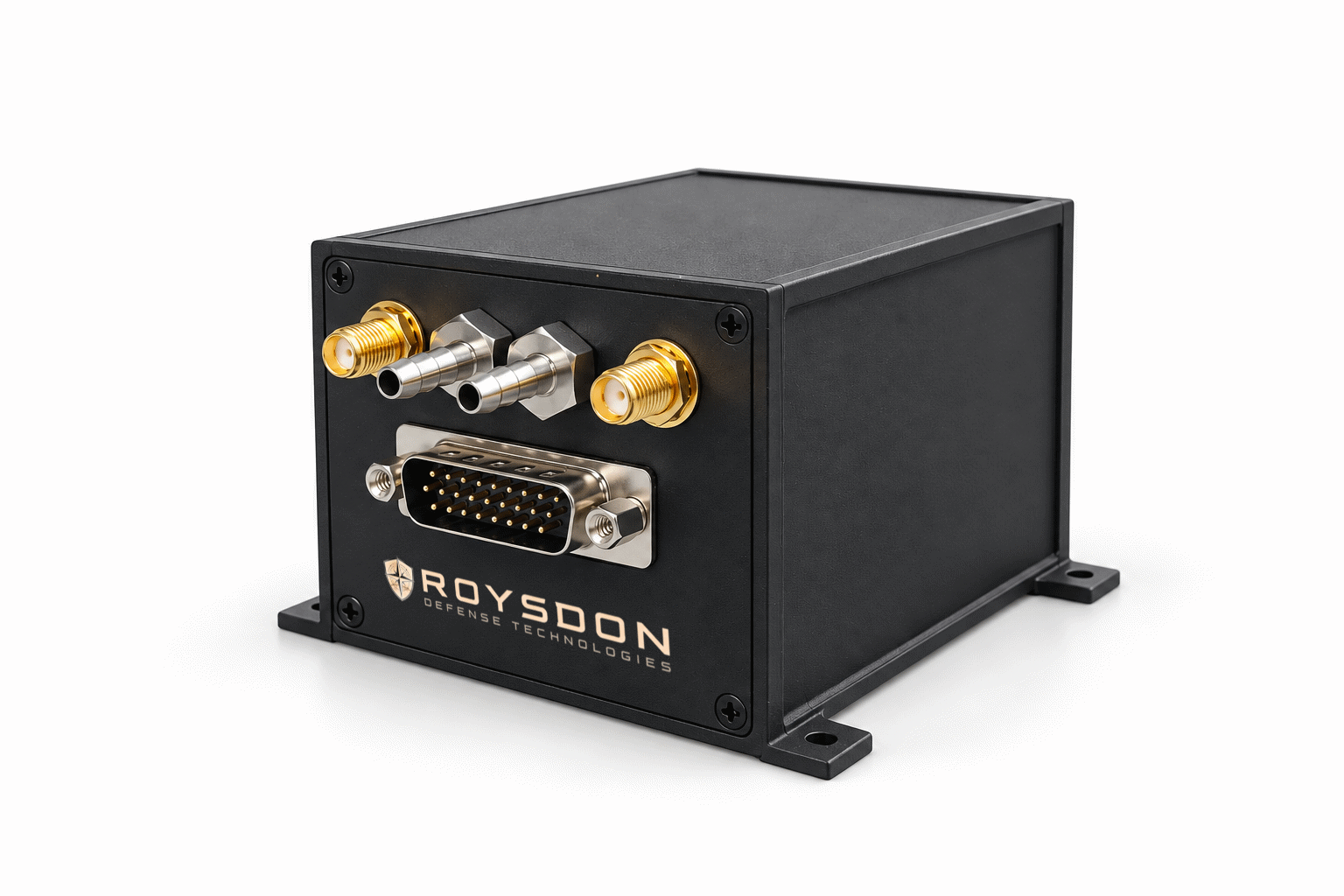
APEX \ Real-time information correction & estimation navigation
The estimate is only as good as the reasoning behind it. Measurements contain uncertainty. Some contain errors that cannot be treated as ordinary noise. The estimator must make use of the available information without allowing misleading measurements to dominate the solution. APEX (Advanced Precision & Extreme Control) incorporates ICE-Nav (Information Correction & Estimation Navigation) our award winning published research formulating a real-time, full nonlinear maximum-a-posteriori sliding-window estimator and an associated fault-detection and removal strategy. The distinction is fundamental: the mathematics of estimation and error handling is part of the product architecture. This architecture is particularly important for Assured PNT and GPS-Denied conditions.
Our hardware is qualified against MIL-STD-810F (vibration, acceleration, humidity, rain, temperature, etc.), MIL-STD 461F (EMI) and ISO 9001:2015 standards. Our software is developed in accordance with recognized industry standards such as DO-178B. In keeping with aerospace standards, it also follows strict software versioning and traceability.
Our value is operational experience across the U.S. Air Force, Army, Navy, and many others.
Nav Toolbox
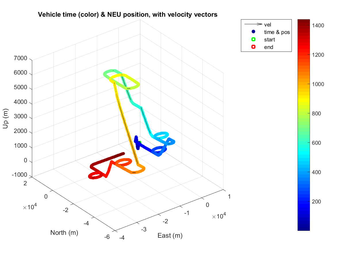
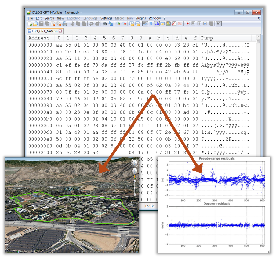
Our navigation work extends from sensor characterization and error modeling to GNSS-INS integration, EKF and full-nonlinear optimal Bayesian estimation, Maximum A Posteriori (MAP) estimation, trajectory reconstruction, simulation, and “ground truth” reference-solution generation. The broader RDT navigation-tool portfolio includes:
loosely and tightly coupled GNSS/INS methods,
differential carrier phase processing solving integers using MILES and MLAMBDA,
GPS-denied sensor-aiding models for baro, signals of opportunity (SOP), magnetometer, sonar, radar, and
nonlinear trajectory smoothing for sub-centimeter accurate “ground-truth”.
These tools support development and evaluation; product configurations are defined separately around the customer's requirement. That depth lets us investigate a discrepancy at its source, whether it begins in the sensor, the model, the estimator, the timing, or the implementation.
Nonlinear Bayesian navigation. Built into real hardware.
RDT ICE-Nav is a dedicated navigation product implementing full nonlinear Bayesian estimation, sliding-window processing, and error correction. We developed the estimator and built the hardware that runs it. The result connects original navigation mathematics with a physical system, not a research algorithm waiting for an implementation. When you need Assured PNT, don’t trust simple Kalman filters (EKFs) and basic GPS-INS, you need the advanced signal processing and sensor fusion of RDT ICE-Nav.